
You’re familiar with the classic city map: streets, buildings, maybe a river. Clear, easy to read, but it’s missing something. Not just a dimension, but also context. A 2D map shows you where something is, but not how it relates to its surroundings. How tall is that building? Does it cast a shadow on the street? Does a transformer station obstruct the view for traffic or the scenery? That’s where 3D and digital twin come into play. And no, that doesn’t mean you have to say goodbye to 2D—quite the opposite. The combination of both actually offers the most benefits. In this article, you’ll discover why 3D and digital twins are digital twins powerful complement to the familiar 2D maps and how you can use them to work more efficiently within your municipality.
2D: The basics remain important
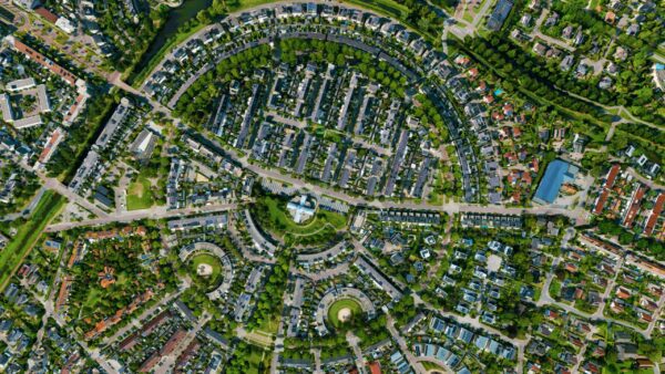
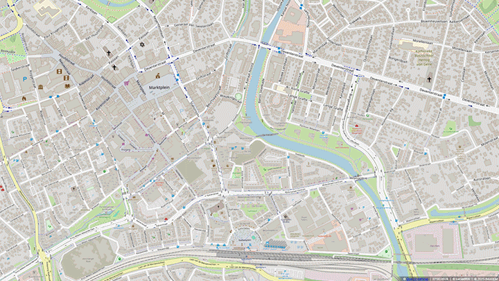
2D maps have been the standard for centuries. They are simple, clear, and used for reports, zoning plans, and policy documents. If you want to quickly see where roads run or where the boundaries of a project area lie, a 2D view is sufficient. You’ve grown up with them and know exactly how to read and use these maps. But 2D also has its limitations. You can see where a building is located, but not how tall it is or what details it has. You can mark a flood zone, but you can’t immediately assess what that means for the buildings and infrastructure. This is where you run up against the limits of 2D.
3D and digital twins: the extra dimension you need
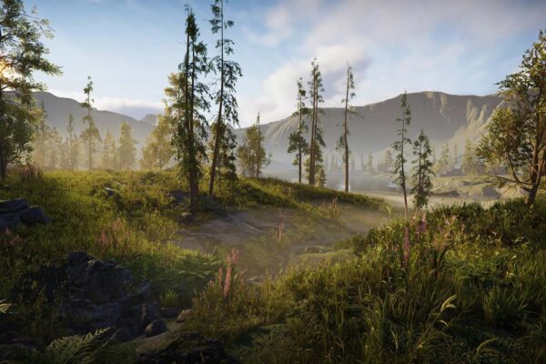
With 3D, you add context that is missing in 2D. You don’t just see what’s there, but also how it looks in space. Digital twins a step further: they combine 3D visualizations with dynamic predictive models, giving you not only a snapshot of the current state, but also the ability to simulate what happens when certain changes occur. This offers benefits in several areas:
- Better insight into urban planning: See at a glance how a new building affects the skyline or how much shade it casts on the surrounding area.
- Smarter infrastructure projects: 3D technology is indispensable in tunnels, roads, and rail lines. It helps visualize both underground and above-ground structures and prevents costly surprises during construction.
- Better communication and participation: Not everyone is a geospatial expert. A 3D model or digital twin much more intuitive and speaks directly to both residents and policymakers. Decisions are made more quickly when everyone understands what’s at stake.
- More efficient collaboration: From urban planners to traffic engineers, everyone is looking at the same digital environment, giving them a shared perspective. This prevents misunderstandings and speeds up decision-making.
- Simulation and forecasting: With a digital twin , you digital twin , for example, see what happens during a heavy rainstorm or how new policies affect mobility in the city.
Working with both worlds: the power of combining
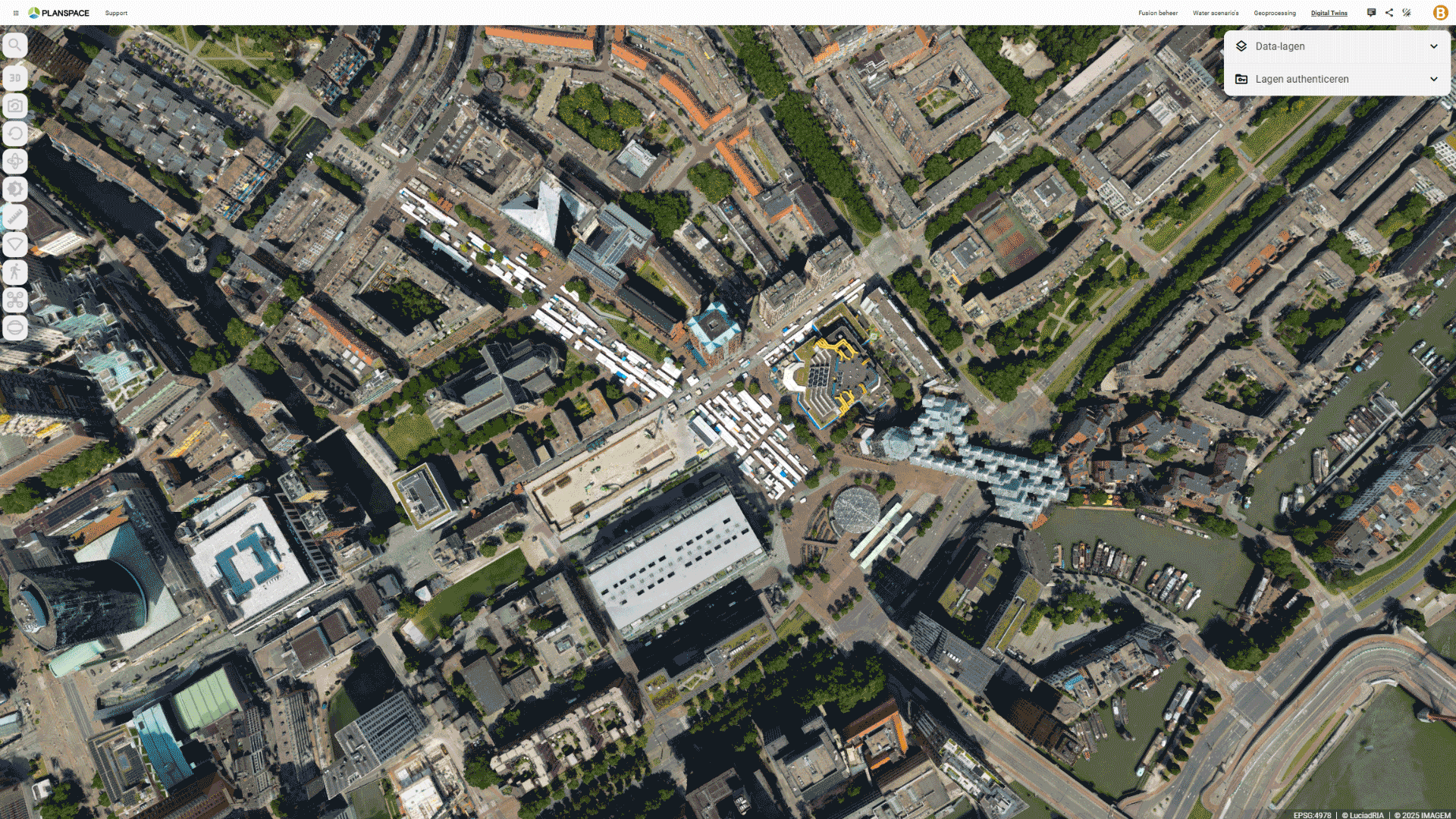
Does that mean you have to switch entirely to 3D and digital twins? No, and you don’t have to. The best part is: you don’t have to choose. In our digital twin , you digital twin switch between 2D and 3D with a single click. Are you working on a project where 2D is sufficient? No problem. Do you want to better understand or simulate a spatial issue? Then switch to 3D and harness the power of a digital twin.
With smart GIS solutions, such as our digital twin Planspace Simulator, you can retain the convenience of 2D while leveraging the power of 3D and dynamic analyses. This allows you to get the best of both worlds and make future-proof decisions for your municipality.
Take the step toward a smarter municipality
2D is and will remain important. But 3D and digital twins insights that you simply can’t get from a flat map. When you embrace these technologies, you work more efficiently, speed up decision-making, and communicate more clearly with residents and stakeholders.
More information
Niels is the Government Market Manager at IMAGEM. He helps government agencies continuously work smarter and more effectively, and fulfills his role by supporting organizations in solving their challenges. Want to learn more? Send Niels an email or send a message via our contact form.

Niels van de Graaf
Government Market Manager