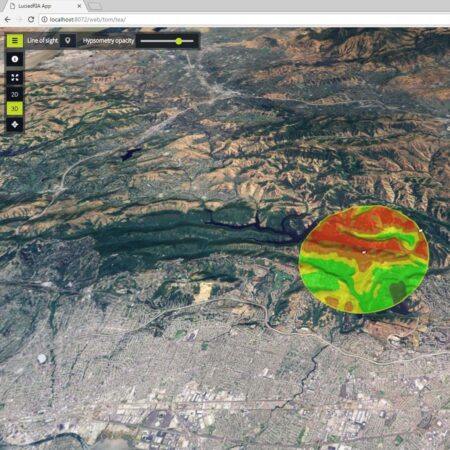
Take the leap to 5D
The days when geodata was presented on a static 2D map are behind us. Not only is more and more data being generated in 3D, but the time factor also plays a significant role. Looking back in time, comparing situations, and displaying real-time positions—it’s all part of the process. And with LuciadFusion, it’s possible. You can seamlessly switch between visualizations at different scales, allowing you to maintain an overview while simultaneously zooming in on details.
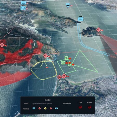
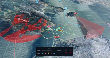
Create your own Common Operational Picture
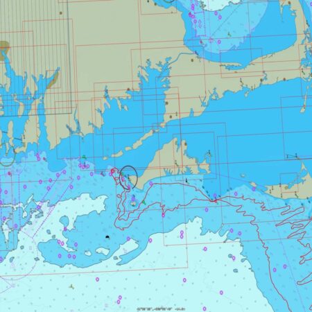
With LuciadFusion, you can visualize and analyze the real-time positions of hundreds of dynamic objects, such as aircraft. This allows you to see who is where at any given moment, detect hotspots and potential risk situations, and take appropriate action. It can work with dynamic ECDIS data and even with real-time weather information. LuciadFusion serves as the foundation for a Command & Control system, offering real-time monitoring capabilities and advanced visualization and analysis tools.
Put your data online in just a few clicks
LuciadFusion is managed through LuciadFusion Studio, a browser-based management environment where you can easily add data sources, create services, and manage permissions. This allows you to manage the system from anywhere, without having to install anything locally. You can have data added automatically and combine different formats into a single service, such as raster and vector data together.
Choose your own application stack
Because LuciadFusion adheres to open standards, you can connect it to any client application that also supports these standards. Of course, we offer a range of our own powerful browser-based client environments (includingLuciadRIA), but you can also use your own client. This makes LuciadFusion a natural fit for a multi-tier architecture such as Common Ground.
Unlock your data the right way
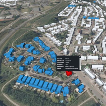
LuciadFusion excels in supporting a wide range of data formats. These include not only standard raster, vector, and point cloud formats, but also, for example, 360-degree photos and sector-specific formats. For example, LuciadFusion handles weather data standards such as NetCDF and GRIB, supports radar feeds from sources like Asterix, complies with stringent military formats and symbology (including STANAGs and CADRG), and handles ECDIS data and associated styling.
Have questions or want to get started together?
With our knowledge, experience, and approach, we’re happy to help you explore, analyze, and develop solutions to your challenges. Ready to get started? Give us a call or leave your contact information. We’d love to work with you.