Our case studies demonstrate how our innovative geodata solutions seamlessly integrate into your daily operations and help you make smarter decisions.
Applications
Filter options
Use the buttons to filter the list of results. The list is updated automatically.
Clear filters
Select a filter to narrow down the results. The page will refresh automatically.
Remote Sensing
Check and process BGT updates more quickly
To speed up the verification and processing of BGT changes, IMAGEM has digitized IMAGEM process of reviewing and resolving detected changes. All detected changes are presented centrally in a single work environment. This provides an immediate overview: employees can see where a potential change has been detected, what information is available, and what action is required. Important contextual information, such as permits, case management systems...
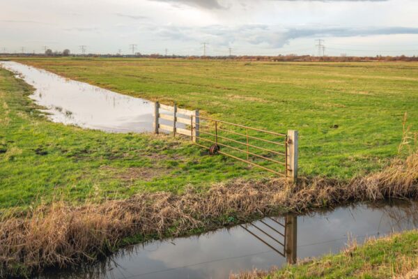
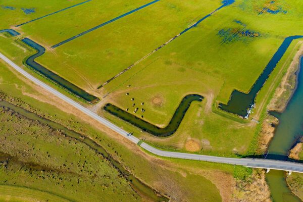
Remote Sensing
Inspect only where necessary
The annual inspection is an essential tool in a water board’s oversight activities. Well-maintained waterways are crucial for reliable drainage and flood control. The water board is responsible for ensuring compliance with maintenance obligations; the maintenance itself is the responsibility of landowners and tenants. The traditional approach is largely based on physical inspections in the...