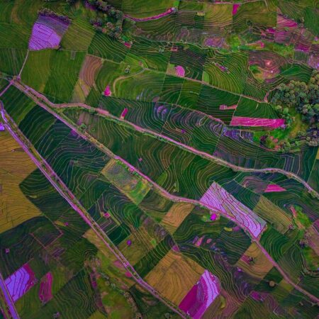
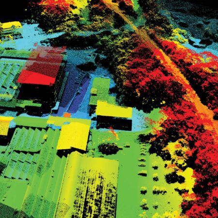
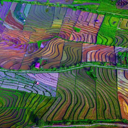
Classification, object recognition, and change detection
ERDAS extracts information from raw data using advanced algorithms and built-in formulas. This makes it possible to quickly create a landscape map or perform a change detection analysis. The ERDAS interface allows users to link multiple images together for quick comparison. Users can systematically review results to ensure that nothing is overlooked.
Harness the power of artificial intelligence—no programming required
ERDAS offers more than 700 operators to help you build your own processing and analysis models. This includes a wide range of machine learning and deep learning operators. Harness the power of artificial intelligence without writing a single line of code. Easily build your own models using operators. Then train these models to recognize objects or detect differences. Easily add your own models as function buttons to the interface, so every user can easily access the analysis. The entire ERDAS interface can be customized to fit your workflow.
A comprehensive core package with specialized add-on modules
ERDAS offers a wide range of features as standard, with different subscription tiers available. Starting with the Essentials level, you can combine hundreds of data formats and run processes sequentially. With Advantage, you gain access to many advanced analysis tools and can run processes in parallel. Features such as orthorectification, mosaicking, and image correction (spectral, radiometric, and positional) are also part of ERDAS Advantage.
The Professional tier adds classification, segmentation, and artificial intelligence. With the Professional tier, all of these features are also available in the Spatial Model Editor, which allows users to design their own models—such as models for change detection or automatic interpolation models.
Would you like more detailed information about ERDAS ?
Please visit the website of our partner, Hexagon . IMAGEM the official distributor of ERDAS and otherHexagon software in the Benelux.
Have questions or want to get started together?
With our knowledge, experience, and approach, we’re happy to help you explore, analyze, and develop solutions to your challenges. Ready to get started? Give us a call or leave your contact information. We’d love to work with you.