Our case studies demonstrate how our innovative geodata solutions seamlessly integrate into your daily operations and help you make smarter decisions.
Applications
Filter options
Use the buttons to filter the list of results. The list is updated automatically.
Clear filters
Select a filter to narrow down the results. The page will refresh automatically.
Digital Twin
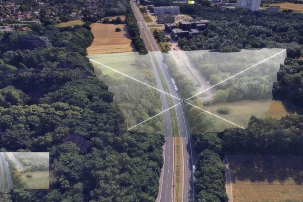
Drone Data Processing: From Sensor Data to Informed Decision-Making
Drone data processing only truly delivers value when sensor data is processed, analyzed, and integrated with other information sources and systems. IMAGEM connects the entire information chain, from the initial information request to its application in existing work processes. As a partner of Skyline, IMAGEM uses PhotoMesh for 2D and 3D geodata to support monitoring, asset management, and safety.

Digital Twin
Collaborating holistically speeds up the process
It is important to start now so that we can address the challenges of tomorrow. Our goal is for every municipal department to launch an application by 2030 that is part of a comprehensive, knowledge- and policy-driven information system, in which data and information are directly integrated into work processes. Key considerations (source: information point...)

Digital Twin
Greening and cooling with the 3+30+300 rule
Green spaces are not a luxury, but a necessity. Due to climate change, growing health concerns, and declining biodiversity, we need to redesign our cities and towns. More trees and green spaces make neighborhoods more livable and future-proof. As a municipality, you play a key role in this. But how do you know if you’re on the right track? How do you make informed decisions and ensure...