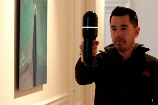

Geo, BIM, and digital twin. Old and new concepts, sometimes just a marketing buzzword or even a fad. What is their relationship, and where do they overlap? It’s time to explore this further with John Joosten and Freek Boersma of GeoBIMexperts. Together with IMAGEM , they IMAGEM currently IMAGEM on a project for the Gegevenshuis, a government agency that performs various registration tasks for municipalities in Limburg.
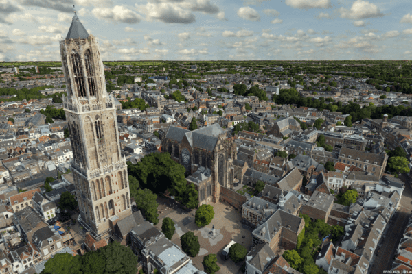
All concepts and areas of application relate to location. In the field of geoinformatics, this is increasingly taking place in 3D. A nationwide 3DBAG dataset has recently become available. There is now also location technology that can provide context for data collected in public spaces or within buildings, for example by displaying data from sensors on a dashboard or in a 3D city model. So what is the next step? According to GeoBIMexperts, you can gain significant benefits by combining geodata with BIM and vice versa.
What is the common thread?
So what is the connection between geoinformatics, BIM, and digital twin?Joosten: “In a sense, all three fields deal with the same objects, but from different perspectives.”
In principle, geodata describes all visible objects, but in recent years, 3D technology and standardization have advanced to the point where they can better represent reality.
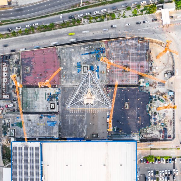
BIM focuses on the construction process of typically complex projects such as buildings, tunnels, or bridges, and provides highly detailed 3D data of the finished structure.
Digital twins extracting all the data needed to process operational data and enable decision-making processes—ideally, of course, also depicted with 3D representations of the key objects in the model. In this way, geo, BIM, and digital twins go hand in hand toward a better-managed and more predictable society.”
The opportunities
Several sectors stand to benefit from the combination of geospatial data and BIM, Boersma explains. “Traditionally, these have always been the public sector and the utilities market. The third market is construction, although geospatial data is not yet seen as essential there. There are many opportunities in the area of information management and data transfer between construction and land management, says Joosten: “The construction sector isn’t interested in management. When construction starts a new project, measurements have to be taken all over again to collect data that maps out the baseline situation for the engineer, while ideally that data should already be available from the manager.”
If the facility manager is more involved in the early stages of a project and the construction sector better coordinates the transfer of information with the facility manager, they can help each other. According to GeoBIM experts, the greatest opportunities lie in the interaction between these two processes. The geo-world has been working on standardization for years, but this has been less of a focus in the construction industry. Joosten: “Much more attention is now being paid to this, because they see that there is much to be gained from the exchange of standardized data. This lowers the barrier to entry for the construction industry and also increases efficiency.”
The exchange of information between construction and facility management lies at the intersection of geospatial technology and BIM. GeoBIMexperts believes that modern technologies, such as digital twin , can digital twin contribute to improved information transfer throughout the supply chain. It is important, however, that people understand what BIM is.
“It is much more than just a 3D model. First and foremost, it is about information management, in which every party has a clear role. BIM covers the entire construction cycle and aims to safeguard the interests of all stakeholders. Gradually, we’re seeing a broader understanding emerge of how to approach BIM—not only within the construction industry but also as a client. Another key component of a good construction process is the use of geodata. So builders are increasingly incorporating geodata into their designs, and facility managers want to receive and process more and more design and revision data.”
Another development in recent years is the digital twin. Boersma: “There is definitely an overlap between digital twin geoBIM. A digital twin particularly valuable to the owner of the data, whereas BIM is still part of the construction process. But the digital twin also digital twin explanation and context. 3D alone isn’t enough.”
3D alone does not make digital twin
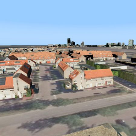
Joosten believes that BIM and digital twin have become digital twin . “Just look at job postings for BIM modelers. They’re often just traditional CAD drafters or engineers. The same goes for a digital twin. When people talk about a digital twin your city, it turns out to be a 3D model. But a 3D model isn’t necessarily digital twin, and vice versa.”
A 3D model can certainly help visualize an environment, while at the information level, you can also solve a problem in 2D. Joosten: “A digital twin provide insight into the livability of the environment. When everyone goes into the city with their smartphone, they become a sensor. There’s a continuous stream of information. You can link that to a 3D model, and then it becomes input for a smart city. A digital twin have a feedback loop on which you can base decisions.”
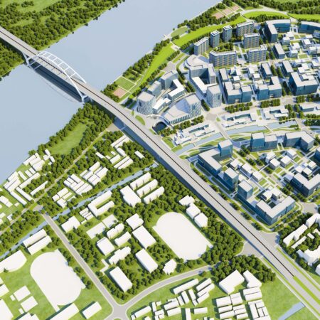
This is how you transition to a “data-driven approach.” A 3D city model does serve as the foundation for a digital twin. According to GeoBIMexperts, the larger municipalities are the pioneers using and innovating with this technology.
“They have the scale, the budget, and the scope to innovate. While their primary focus is on regulatory duties, they’re keeping an eye on developments in 3D and conducting trials to see how they can use this technology to improve the city.” As a second market, they point to utility companies. “They look at the subsurface. It’s full of pipes and cables. The third dimension becomes very important in that context. For example, it’s not ideal if a heating pipe runs next to a water main. That’s where depth data comes in. The data must also be accurate.”
Technology as a tool
Boersma was impressed by the Luciad . “In the Luciad platform is designed with 3D in mind right from the start. It’s a 3D technology fully grounded in reality, whereas other market players add it later in the process and try to integrate it from a 2D platform. It’s also great to see how easily you can visualize from different viewpoints and how effortlessly you can load BIM data.” Joosten confirms this: “Not just BIM data, but also point clouds and meshes. We’re very impressed by that.”
Luciad developed based on the fundamental principle that a 3D environment is built from a wide range of data sources and live sensor information. This makes it far better suited than a traditional GIS system for providing a real-time view to a large number of users simultaneously. The fact that Luciad based on an API strategy also contributes to this, as it enables developers to create highly specialized applications without the overhead of standard user interfaces, which can make them unnecessarily heavy. Furthermore, close attention is paid to factors that can enhance the user experience and performance of the application, such as the use of GPU processing and WebAssembly, which leads to faster rendering of complex 3D worlds in standard browsers. This makes Luciad ideal technology for bringing digital twins the general public.”
The Data Hub
GeoBIMexperts and IMAGEM on a project for the Data Hub. Joosten: “They are currently exploring what 3D means for their internal processes. Our shared goal is to investigate the implications of 3D implementation. Luciad good Luciad for this, because it eliminates the need to tinker with other applications.”
Boersma is just as enthusiastic: “The Data House is located in an area where 3D plays an essential role. Their goal is to be able to do everything in 3D within three to four years that they currently do in 2D. I envision that we will arrive at a unique solution that we can implement together with IMAGEM at the Data House and IMAGEM future projects.”