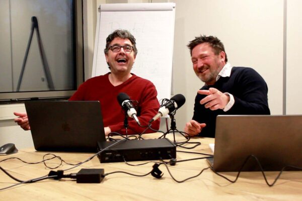

Digital twins are no longer a thing of the future. Municipalities and government agencies are increasingly discovering how these 3D models help not only to visualize plans but also to immediately assess them against policies, standards, and objectives. In the Geospecial podcast “To digital twin not to digital twin,” Niels and Stefan discuss what they encounter in practice. They share current examples, insights, and technological developments. In this article, you’ll learn how digital twins are already contributing to better decision-making digital twins and what the latest developments mean for municipalities and government agencies.
Listen to the podcast "To digital twin Not to digital twin"
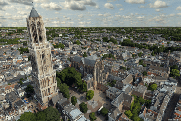
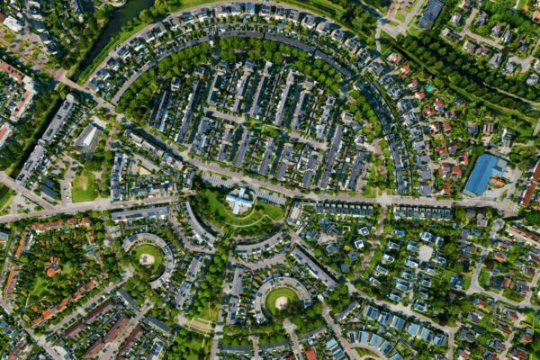
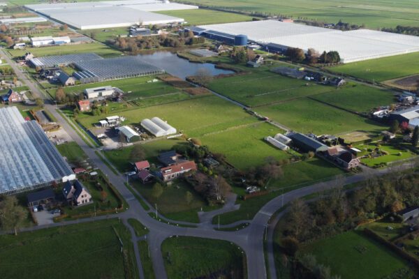
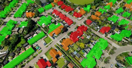
3D real-world examples
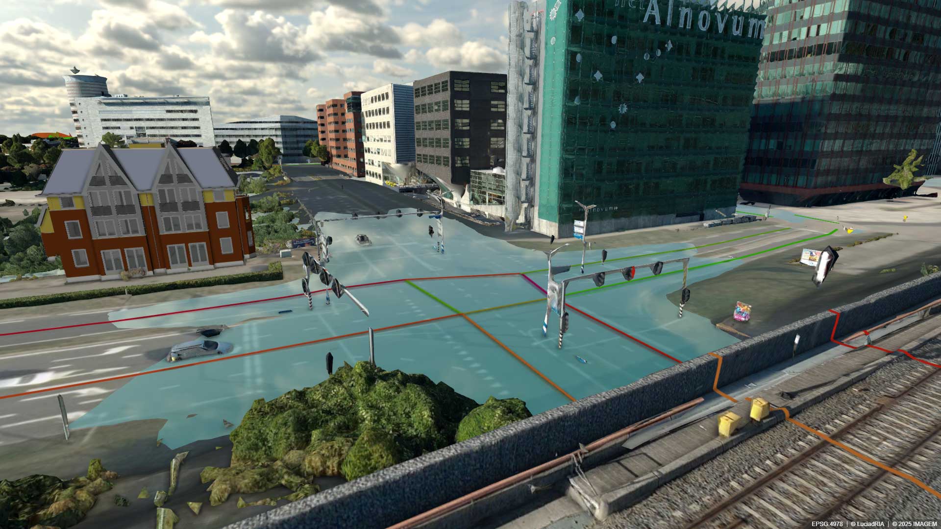
A good example is the flood analysis developed in collaboration with Nelen & Schuurmans. It is available for anyone to download via DMI’s product and services catalog, regardless of the software being used. The analysis realistically shows how a heavy downpour spreads, up to the height of building facades, making the impact of the downpour immediately visible and allowing you to see what consequences it has, for example, on critical infrastructure. This makes it possible to determine whether an area can handle a downpour and, if not, what consequences this has for critical infrastructure.
But that’s not all. In collaboration with Nelen & Schuurmans and Goudappel, we are exploring a combination of hydrological and mobility data that reveals how a city functions under extreme conditions, making it possible to answer questions such as “How long will the water remain? Which routes will be impassable for emergency services?” and enabling municipalities to plan effective measures.
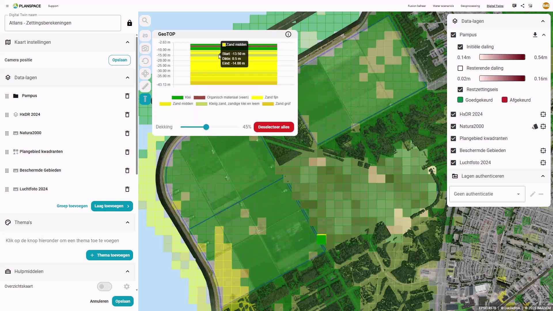
Another practical example is the predictive subsidence model, which we developed in collaboration with Deltares, the Municipality of Almere, and the Ministry of the Interior and Kingdom Relations. Whereas soil subsidence analyses typically take three months, this model provides insights within a single day. By mapping an area and combining data on groundwater levels and soil conditions, the bearing capacity of the subsoil can be calculated. The model shows both the development over the first three years and in the longer term, enabling municipalities to decide more quickly whether construction is feasible and what maintenance strategies are needed.
And the final real-world example is a collaboration with the City of Rotterdam that is exploring how big data digital twin be used in the digital twin to support the heat transition. Using collision detection, cables, pipes, tree roots, and sewer lines are made visible, allowing for the careful and low-risk planning of heat networks for 250,000 homes.
Technological developments
The technology behind digital twins at breakneck speed. Major strides have been made in the area of BIM integration: models can be converted without data loss, automatically georeferenced, and smoothly streamed via OGC 3D Tiles. Performance issues are now a thing of the past. In addition, spatial models can now be accessed and visualized as a service, eliminating the need for heavy desktop software. This makes digital twins to a wide range of users.
New opportunities are also emerging in the field of climate adaptation. Heat maps already existed, but now the 3-30-300 guideline for greening and cooling can also be displayed in 3D, including information on tree species and their effects on the living environment. This allows municipalities not only to see whether they are complying with the guideline, but also to identify which measures have the greatest impact on health, cooling, and quality of life.
AR/VR and civic engagement
During the Hexagon, Niels saw an AR/VR model concept: a 3D-printed city model that comes to life via a tablet or AR. This would be a great way to present flood scenarios, new construction projects, or wind analyses, for example, to policymakers and residents in an accessible way.
Frequently Asked Customer Question: BIM in the Twin
Many municipalities are asking themselves:“Can BIM be integrated into a digital twin compromising performance or data?” The answer is yes, provided the right technology is used.
Many data files are large. It’s easy to lose track of attribute data. Together with the City of The Hague, we developed a solution —which we have since refined—that automatically converts different IFC variants, intelligently interprets layers, and streams files via 3D Tiles. This ensures that attributes are preserved and that even large models perform smoothly.
Digital twins: the information systems of the future
Digital twins the go-to tool for integrated collaboration. While many applications currently exist in isolation, a digital twin brings everything together in a single environment. This is crucial when municipalities are dealing with a wide range of use cases: from noise and the environment to housing construction, flooding, and green space monitoring.
A digital twin simulations and predictions, digital twin housing plans to be visualized realistically, and makes it possible to directly assess policy objectives against standards and frameworks. The result is not only lower costs associated with failures down the line, but above all, faster and more well-informed decision-making.
Digital twins the future of information systems. They enable smarter and more efficient work, fostering greater coordination across sectors and maximizing value from existing resources. As a result, the digital twin an indispensable foundation for how municipalities and government agencies make decisions.
Spoiler: In the next podcast, we’ll have a guest who actually works with a digital twin in practice.
Want to know more?
Would you like to learn more about this topic? Send Niels or Stefan an email atimagem orimagem, or send us a message via our contact form.

Niels van de Graaf
Government Market Manager

Stefan Lijst
Business Consultant
Have questions or want to get started together?
Please call or leave your contact information, and we will get in touch with you.