ERDAS
Combines Remote Sensing, photogrammetry, LiDAR analysis, basic vector analysis, and radar processing into a single product! Perform smarter processing by conducting insightful data analysis. Utilize dynamic modeling capabilities through powerful multi-core and distributed batch processing for virtually any need.
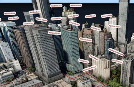
Photogrammetry
ERDAS Photogrammetry is a seamlessly integrated suite of software tools that allows you to convert raw imagery into reliable data layers required for all digital mapping, raster processing, GIS raster analysis, and 3D visualization. Consolidate multiple photogrammetry projects into a single, fast, and manageable workflow.
ERDAS
Do you have large volumes of geospatial information, regularly updated data storage, and a distributed user base? Do you need a single, integrated, enterprise-class spatial data infrastructure? Is the delivery of imagery too slow and inefficient? Manage and share your data with ERDAS . It offers comprehensive data management and fast delivery.

ECW Compression
Compress large amounts of image data by up to 95% while fully preserving quality using the Enhanced Compressed Wavelet (ECW) image format. When you compress images to the ECW format, the result is a much smaller file that is easier to store, send, and view, even on smaller devices, such as offline mobile devices.

GeoCompressor
Do you work in an industry where you use massive, high-resolution images or point clouds? With GeoCompressor, you can compress terapixel-sized images or point cloud files containing billions of points into a single file.

Other products
Can't find the product you're looking for? Learn more here about ER Mapper, ER Viewer, ERDAS for ArcGIS, Spatial Modeler SDK, PRO600, and ORIMA.