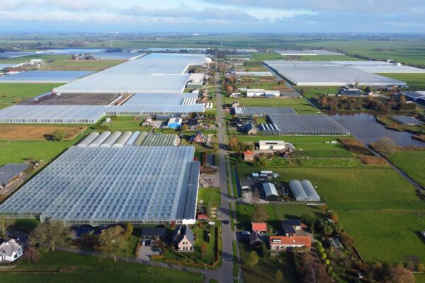
Every fall, IMAGEM assists IMAGEM Drents Overijsselse Delta IMAGEM (WDODelta) and Hunze en Aa’s with the digital inspection of waterways. This recurring process helps detect excessive overgrowth in waterways with the aim of ensuring the drainage of excess (rain)water. This year, for the first time, we used Pléiades Neo satellite imagery with a resolution of 30 centimeters to investigate whether these images are even more accurate than the standard 50-centimeter Pléiades images. Although the results are still being analyzed, Hunze en Aa’s already notes that the ease and speed with which a decision can be made during the screen review have increased significantly.
From manual inspection to digital efficiency
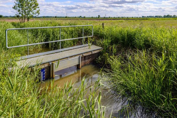
Traditionally, waterways were inspected manually by surveyors. This was a time-consuming task, with inspectors heading out into the field without any prior information about the condition of the ditches. The maintenance of ditches—which is crucial for proper water inflow and outflow—is the responsibility of owners and tenants, while the water board oversees compliance with maintenance obligations. Poorly maintained ditches can impede water flow, posing risks of waterlogging or flooding. By utilizing satellite imagery, artificial intelligence, and smart algorithms, IMAGEM has significantly accelerated IMAGEM process and made it more efficient.
The digital inspection process, step by step
Phase 1: The Digital Inspection
- Task: A satellite imagery provider is commissioned to capture an image of the area to be inspected. The image should be taken as close as possible to the time when the ditches are due for maintenance.
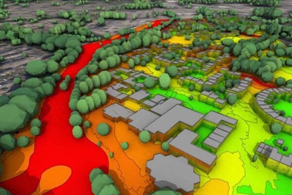
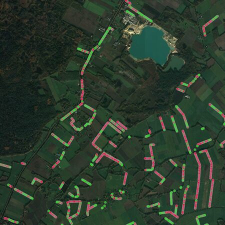
- Analysis: Schouw M.App analyzes waterways using satellite imagery and smart algorithms. This year, imagery from the Pléiades Neo satellite with a resolution of 30 centimeters was used, which, according to Hunze en Aa’s, has led to a significant improvement in assessment accuracy.
- Screen Inspection: Staff manually validate the rejected waterways. This minimizes the inspection workload in the field. The rejected waterways—those with overgrowth or an unclear assessment—are made available in the inspector’s mobile app. This allows inspectors to easily record the assessment during the field inspection
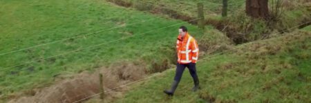
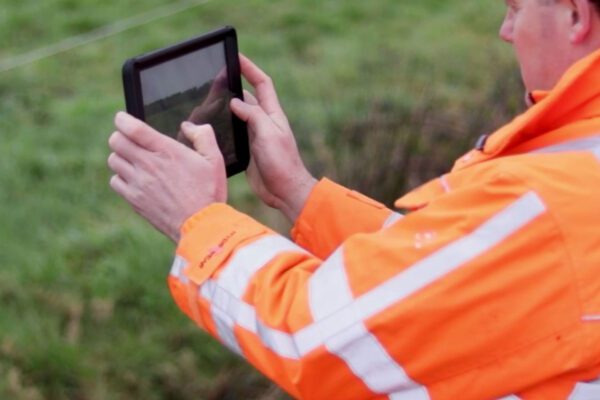
Phase 2: The Site Inspection
- Notifications: Through a mobile app, inspectors receive only the locations of non-compliant waterways that have been assigned to them and need to be inspected.
- Physical inspection: Inspectors assess the situation on-site, and for ditches that fail inspection, the assessment is supported by photographs.
- Process: The land manager responsible for maintaining the watercourse that failed inspection will then receive a letter requesting that maintenance be performed.
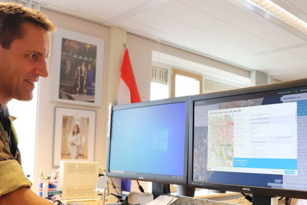
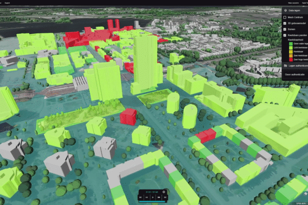
- Reporting: A clear dashboard displays all reports, the progress, and the results of the process.
The benefits of the digital inspection
Thanks to new technologies, a large portion of manual inspection work has become unnecessary. Inspectors now only need to inspect waterways that have been flagged as “unclean” by the “satellite survey” or where there is uncertainty. In open areas without obstacles such as trees, this means that up to 80% of waterways no longer need to be physically inspected. This saves time and costs, while making the work more interesting for inspectors. They can focus on the exceptions and apply their expertise in a more targeted manner. Furthermore, all information is recorded in a single central dashboard, ensuring knowledge retention and continuity.
Future-proof review process
With this approach, IMAGEM supports IMAGEM in their transition to a more efficient, sustainable, and future-proof inspection process. Drawing on our knowledge and expertise, we help water authorities integrate new technologies and optimize their business processes.
Curious about what digital inspection can do for your organization? At IMAGEM , we IMAGEM water authorities at every stage of the inspection process: from collecting and analyzing satellite imagery to identifying the waterways that require maintenance.
More information
Tjip is a business consultant at IMAGEM. As a consultant, he helps organizations—such as water authorities—find answers and solutions to spatial challenges, where the key lies in the smart application of location intelligence. Want to learn more? Send Tjip an email or message us via our contact form.

Tjip van Dale
Business Consultant