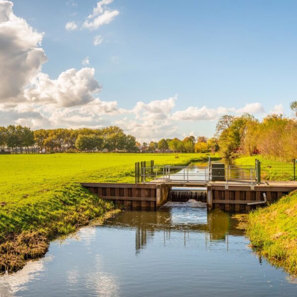
With more than 200,000 hectares of territory, Hunze en Aa’s is one of the larger water boards in the Netherlands. It is responsible for integrated water management, with a focus on safety and ensuring an adequate supply of clean water. Given the size of its territory, the water board has a small staff. This means the water board must maintain a high level of efficiency in its area, in part through the automation of many processes—a key component of the Digital Transformation within many government agencies.
Everything under one roof
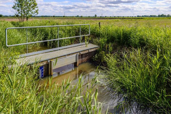
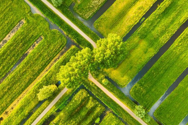
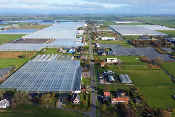
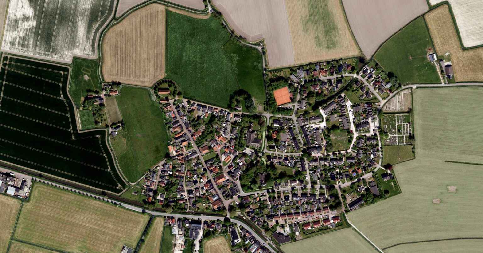
A widely used geographic data source within the water board is the area-wide aerial photograph. These are collected annually through aerial photography and are playing an increasingly important role in various management processes for Hunze en Aa’s, including change detection and enforcement. Easy and quick access to this geodata is essential for staff members.
The water authority uses many different applications for a wide range of purposes, from various suppliers, all of which rely on the same aerial photographs. Such large volumes of data must be regularly updated and distributed, preferably through a single service. In addition, the performance of all data must remain fast and reliable under all circumstances, including with large numbers of users and limited bandwidth, such as in the field. When the data is also made publicly available, the number of users increases significantly. This requires a robust environment. That is why the water authority sought a solution that is straightforward and easy to use.
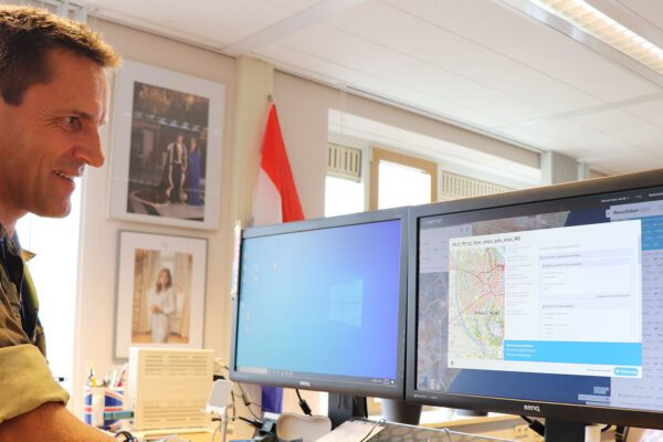
Martijn Burgler is a member of the Geoinformation, Documentary Information Services, and Real Estate team, led by Marcel Lange. He works every day to optimize access to data. Together with IMAGEM , Martijn Burgler and the team IMAGEM Hexagon ERDAS technology.
More than just the most recent aerial photo
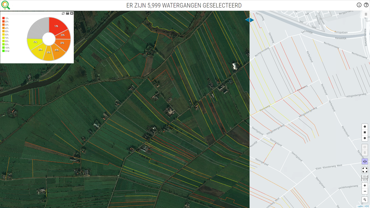
“There was a growing need to make previous years’ datasets available in addition to the most recent one,” says Martijn. “Previously, that was simply impossible due to the storage capacity required and the amount of work involved. We now have all aerial photos from 2007 to the present available as a service, in addition to a number of topographic raster datasets, such as the BRT datasets (Basic Topographic Registration, including TOP25, TOP50, and TOP250) and historical topographic datasets. This allows us to easily see what a particular situation was like in the past and, based on that, make the right enforcement decision, for example.”
Future-proof
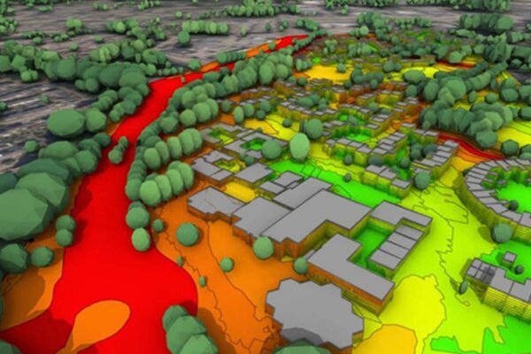
With APOLLO Essentials, the Hunze en Aa’s Water Authority has also secured a solution for the future. In the coming years, the water authority will be collecting, managing, and making available an increasing amount of data. For example, they are using infrared technology for aerial photography, and the use of drones is expected to increase. This will yield not only photos, but also 3D point clouds and elevation files. These point clouds can also be served by APOLLO.
The GeoCompressor application included as standard with APOLLO makes it easy to convert photo sets and other raster data to ECW (Enhanced Compression Wavelet). ECW files are compressed file formats optimized for storing aerial and satellite imagery. This environment can also compress 3D point clouds, resulting in a comparable reduction in file size. This makes APOLLO an end-to-end solution for raster and point cloud management.
Optimize
The water authority is now increasingly focusing on derived files based on basic stereo aerial photographs, such as the aforementioned point clouds and, based on those, true-ortho files—a source of information that, with the improving quality and resolution of the photographs, will become both easy to produce and highly valuable. They are also acquiring LiDAR point clouds. IMAGEM helped the water authority to optimally configure the systems to work with these files.
By utilizing advanced geospatial technology, the water authority can quickly, easily, and efficiently provide imagery for its various management processes. This saves them a significant amount of storage capacity and time, which can then be allocated to other important processes within the water authority.
More information
Tjip is a business consultant at IMAGEM. As a consultant, he helps organizations—such as water authorities—find answers and solutions to spatial challenges, where the key lies in the smart application of location intelligence. Want to learn more? Send Tjip an email or message us via our contact form.

Tjip van Dale
Business Consultant