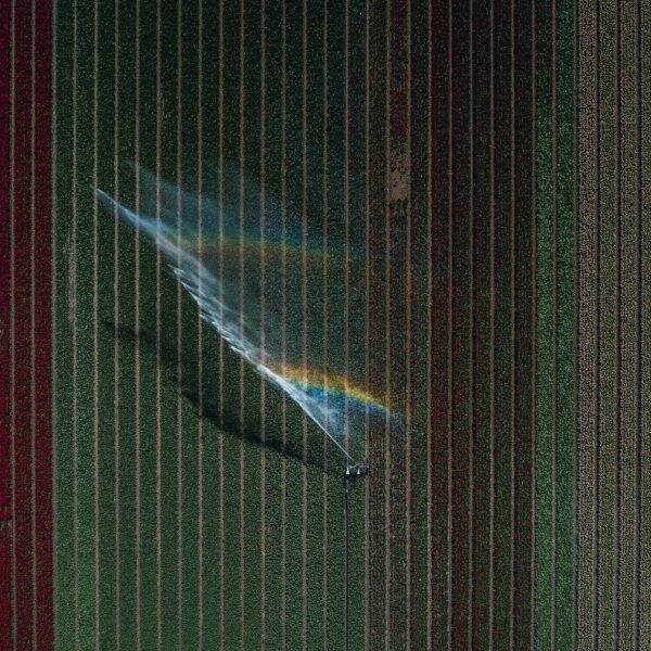

Fast aerial photography service for the Ministry of Economic Affairs and Climate Policy
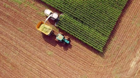
Agricultural policy in the European Union (EU) accounts for one of the largest financial allocations in the annual budget. This requires careful and accurate registration of all farmers eligible for subsidies, along with the correct payments to which they are entitled. To ensure this registration runs smoothly, a “Land Parcel Identification System” (LPIS) has been developed. Each EU member state manages and operates its own LPIS. In the Netherlands, this is carried out by the Ministry of Economic Affairs and Climate Policy.
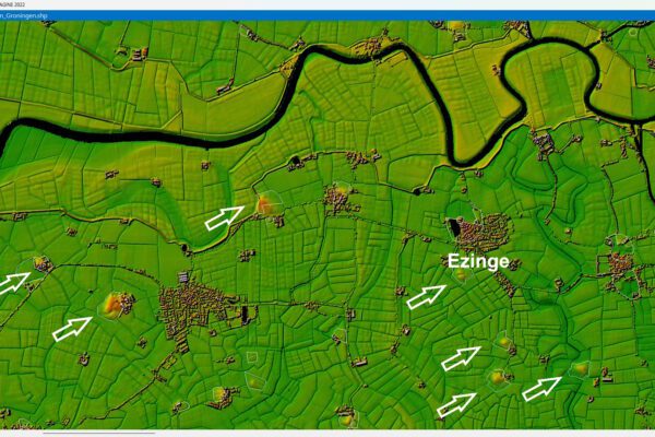
Land Parcel Identification System
Every year, the 60,000 Dutch farmers must log into the system to file the Combined Declaration. In this declaration, they must indicate which parcels they have used, what they have grown, and, if necessary, update their parcel boundaries. In addition, livestock farmers must specify which animals and how many animals they keep, as well as the housing arrangements for these animals and the types of barns. The filing period is limited to six weeks, and many farmers wait until the last weekend of this period to submit their data. During these final days, this leads to peak usage on the system. Due to this high volume of traffic, the filing application must always be fast and reliable.
The system supporting the LPIS in the Netherlands was originally set up in 2008. It featured a complex architecture of interconnected databases and geospatial servers. Maintaining consistent performance and reliability was a challenge, particularly during peak hours. A significant portion of the load stems from the underlying imagery. That is why the ministry approached IMAGEM, a Diamond Partner of HexagonGeospatial division in the Benelux.

Existing architecture
IMAGEM already IMAGEM extensive experience in setting up powerful image services based on ERDAS . This software provides tools for data management and transfer. It also offers capabilities for organizing geographic and organizational data in a centralized library and distributing that data from the cloud or on-site. With an out-of-the-box “Service-Oriented Architecture” in place, ERDAS can be customized and expanded to meet both specific geographic and organizational requirements.
The project for the Ministry of Economic Affairs and Climate Policy presented an additional challenge: implementing the service within an existing architecture based on Esri technology. There was no room to change the front-end or back-end architecture. Furthermore, the solution not only had to be set up properly but also quickly. When the request came in, there were only four weeks until the start of the Combined Task. Upon arrival, the base system was ready for use within an hour and a half. ERDAS ability to utilize a native Esri Geoservices protocol meant that the front end could be integrated directly into the new service without any modifications. Furthermore, testing could begin almost immediately after installation. Following the implementation of the aerial photo service, the imagery appeared on screen faster than the vectors. This had never happened before.
100 GB per hour
Once the system was ready for use and farmers began filling out the Combined Declaration, the aerial photography service solution proved to be not only very fast but also much more stable than the previous architecture. Even at peak times, with more than 8 million page views and 100 GB of data being retrieved every hour, the CPUs (Central Processing Units) did not exceed 25 percent of their maximum load. Furthermore, the data now came from a number of large “Enhanced Compression Wavelet” (ECW) mosaics. ECW mosaics are compressed file formats optimized for storing aerial and satellite photos. The large photo files are modified so that they take up less space while maintaining quality.
Best-in-class aerial photography service
The ECW mosaics have replaced the previous, less efficient solution, which provided full-size images from a database. This meant that, in addition to gains in speed and stability, data management was significantly reduced, as was the amount of storage space required. The ministry is very satisfied with the aerial photography service solution and the ease with which it was implemented.
Furthermore, this successful LPIS implementation paves the way for using the architecture in other systems as well. This aerial photography service also demonstrates that adopting a combined, “best-of-breed” approach to your system architecture yields a far better return on investment than standardizing on a single platform.