
Does this sound familiar? You’ve had a busy week at work or school, and nobody feels like cooking. Twenty years ago, people just cooked—no fuss. Ten years ago, you’d drive to the snack bar. And today, you order delivery. Why? Because you can, and it’s the easiest option. Just pick your meal on the order page, pay online: “Ding dong!” There goes the doorbell.
Convenience for you. And for the restaurant owner. He’s realized that with an online sales channel, you can serve many more customers than just the people who come into the restaurant. So it’s a win-win!
Convenience is key
Whether it’s food or other items, we’ve gotten used to shopping online. From the comfort of your own home, you have access to hundreds of retailers. You can search for exactly what you want, and the online store will show you what’s available. Just click, pay, and the retailer takes care of the rest.
The same is true for spatial data. More and more data is being collected, and more and more data is being downloaded online. The figures from the Open PDOK platform speak for themselves: from 175 million hits in 2015 to 2.4 billion in2020.¹ That is nearly 14 times as many.
1 Source: PDOK Annual Report 2020
The circular data economy
Do you collect geodata? If so, making your data available online is an opportunity for you too—especially if you can do it efficiently. A central geodata hub or online store makes your data accessible to a wide audience. How does that work in practice?
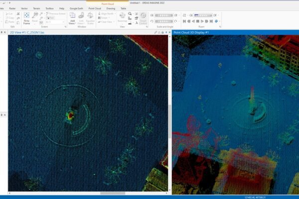
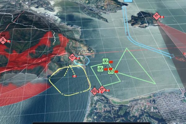
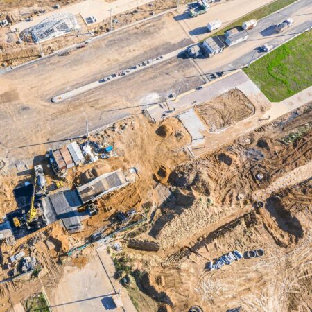
Suppose you’re surveying a project area using a drone for an infrastructure project. You use that data for your project and perform the analyses that are relevant to you. Once you’re done, you’re finished with it. Why would you archive that raw data afterward (or worse yet, destroy it)?
An inspection may be scheduled soon. Or other work may be carried out in the same area. In that case, the contractor could, of course, survey the area again. Or they could purchase the data you’ve already collected for that area. That saves them time and money, and it generates additional income for you. In other words, it’s about reuse—or a circular data economy.
The second entrepreneur wants to be sure that the data is useful for his project. He therefore wants to filter it precisely based on various criteria. You can make that data discoverable and searchable through an online store for the data you’ve collected. Making it available should be simple and quick. Otherwise, you’ll lose out on potential additional revenue due to that extra effort.
Even if you collect or receive a large amount of data, it’s important to make it easily accessible online with minimal effort. After all, someone looking for data wants to know quickly what’s available and often can’t wait weeks for it.
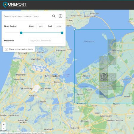
Portals in Practice
A good example of this is the Geodata portal of our Department of Defense. It receives many terabytes of data annually. This data is made available almost entirely automatically. Anyone with access can use it immediately. And that is essential. Because, especially in the context of defense, timely access to data can literally mean the difference between life and death.
The Ministry of Defense uses our ONEPORT solution for this. Just as Bol.com or Coolblue automatically populate their sites with TVs and dishwashers, we do the same for spatial data. You don’t have to do anything manually. The system searches for your geodata on its own, places a description of it in an online catalog, and offers the data as a web service and/or as a download. You decide entirely how you offer it. For example, you can set your own pricing models for data (or offer it for free, of course). You can also include additional options. You can even offer offline data, which you process manually after an order is placed. And if needed: just pay online and your order will be processed. Almost the same as the online shopping you do in your personal life.
As you can see, there are opportunities in selling spatial data online, too. And you don't even have to wait for the delivery guy anymore!
More information
Niels is the Government Market Manager at IMAGEM. He helps government agencies continuously work smarter and more effectively, and fulfills his role by supporting organizations in solving their challenges. Want to learn more? Send Niels an email or send a message via our contact form.

Niels van de Graaf
Government Market Manager