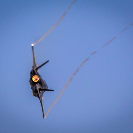
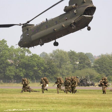
August 17, 2021 – Managing Dutch airspace is a challenge. The Air Force plays an important and supportive role in this. It monitors Dutch airspace and supports its colleagues in the Air Force and Navy. To carry out all of this seamlessly, the Air Force must train. But where do you do that? And how do you ensure that nearby residents experience as little disruption as possible? The Air Force will demonstrate this during their breakout session at Make Geospatial Matter 2021.
IN SEARCH OF SPACE
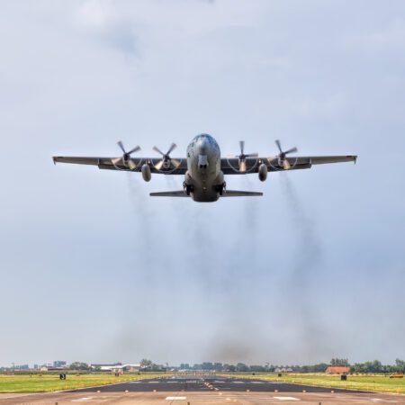
The Air Force is permitted to fly and conduct training exercises anywhere in the Netherlands, but finding the right airspace can sometimes be a challenge. Factors that must be taken into account include the fixed low-altitude flight routes and areas where the Air Force conducts exercises, the eight different airfields, and, of course, the natural environment and local residents. In short, it’s quite a task to map out the right flight routes to optimally distribute the noise from military aircraft across the Netherlands.
That, in a nutshell, is what Joey Ermens, a major in the Ministry of Defense, works on every day. Together with two colleagues and his supervisor, they form the Royal Netherlands Air Force’s Noise Office, where they deal with airborne noise. They aim to relieve the airports of the burden of handling complaints and instead receive inquiries at their office, where they can process the complaints using their technical expertise, thereby maintaining good relations between the public and the Ministry of Defense. To do this, they need the right tools.
THE SAME GOAL
Central to this process is the Air Force Information and Complaints System, or LUIK for short, which has been in use within the Department of Defense for over ten years. Through this system, people can use an online form to describe their complaint, and the office can link the complaint to its own data. This allows them to verify whether the complaint matches the flight data. Once the reports are received, they contact the person and resolve the issue.
To spread the noise as much as possible, it is advisable to plan different routes and training areas. Ermens: “Our goal is to give our colleagues on the ground insight into where there are opportunities to fly, so that we can optimally distribute flight movements across the country rather than limiting them to the usual routes.”
INSIGHT INTO SOUND
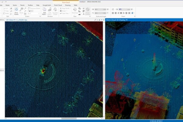
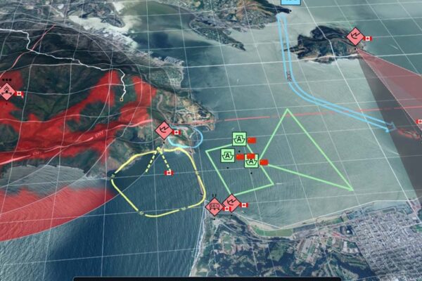
“All our flights are tracked by sensors, which generate data that we want to be able to view in a tool,” explains Ermens. Much of this data comes from Eurocontrol, the European air traffic control agency. With so much air traffic data, it’s important to visualize it clearly. After contacting IMAGEM , colleagues Robbert van Bussel and Wim Bozelie IMAGEM to work on devising a solution that uses all this data to map flight routes in a simple and detailed manner.
The result is a dashboard that allows users to filter by various criteria to gain insight into where flights are taking place. “This dashboard allows us to plan flights early on, so we can spread them out more and distribute the noise evenly across the Netherlands. And the more data we collect, the better we can plan.” With the dashboard, Ermens and his colleagues can promptly inform the various communications departments about where flights are taking place. This means informed decisions are made regarding flight routes.
More information
Harald is a Business Consultant at IMAGEM. He bridges the gap between business, sales, and technology, and focuses on delivering value to the client. He collaborates with developers to create solutions for the public safety and security sector, educational institutions, and digital twins.
Would you like to learn more about this topic? Send Harald an email or send a message via our contact form.

Harald Görtz
Business Consultant