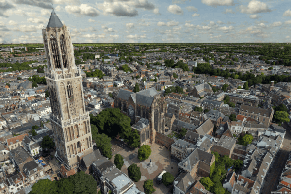
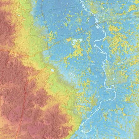
Current Elevation Database of the Netherlands (AHN)
Elevation data for the Netherlands, collected via LiDAR. Ideal for analyses related to water management, urban development, and infrastructure.
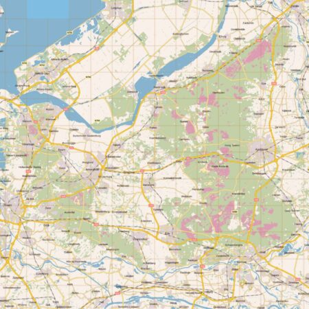
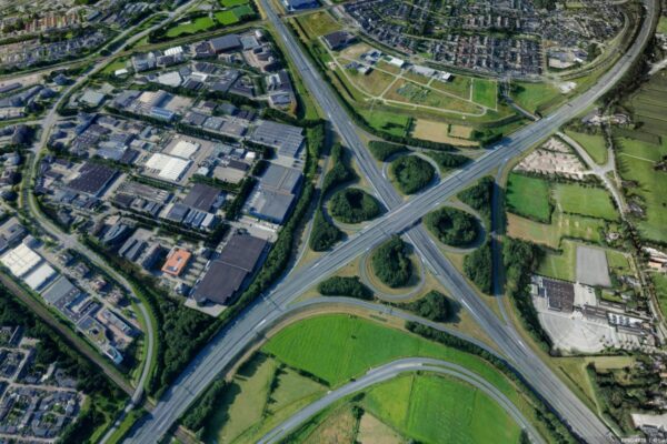
Public Services on the Map (PDOK)
A central portal for open geodata from the Dutch government, including aerial photographs, topographic maps, soil data, and satellite imagery.
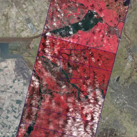
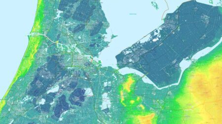
Netherlands Satellite Data Portal
Access to satellite data from sources such as Sentinel and Landsat, tailored for applications in agriculture, nature, and urban areas.
EU European source
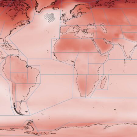
Copernicus Open Access Hub
The European Copernicus program offers free access to Sentinel satellite data (optical, radar, thermal). Suitable for monitoring vegetation and air quality.
U.S. source
USGS Earth Explorer
A platform from the United States Geological Survey providing access to Landsat, MODIS, and other datasets. Suitable for monitoring vegetation and environmental changes.
Remote Sensing Cheat Sheet
Make the invisible visible. Remote Sensing new insights into the Earth by collecting data through advanced sensors, allowing us to see beyond the visible spectrum. Discover the power of remote sensing the limitless possibilities it offers in this cheat sheet.
IMAGEM Remote Sensing
Do you have any questions or would you like to speak with one of our experts? Feel free to call or contact us.

Harald Görtz
Business Consultant
Have questions or want to get started with Remote Sensing?
With our expertise, experience, and approach, we’re happy to help you use Remote Sensing address complex challenges or improve your workflows. Ready to get started? Give us a call or fill out our contact form.