Remote sensing 5: From Data to Dashboard in Capelle aan den IJssel
x
You might also be interested in
Digital Twin
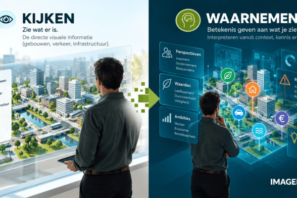
Digital Reality: a " Digital Twin " that incorporates people's perspectives
When it comes to societal challenges, it’s not enough to simply recreate reality digitally. You want to understand what that reality means for the people who live, work, do business, and make decisions within it. And to do that, you have to look beyond the “ Digital Twin.” You need to move toward a “Digital Reality,” one that encompasses not only the physical world but also the human perspective.
Digital Twin
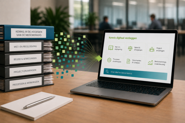
Digital Transformation in Government, Part 1: Preserving and Utilizing Knowledge
Knowledge preservation is about retaining and immediately applying valuable knowledge for work and decision-making. By systematically documenting, linking, and making knowledge accessible, a shared information base is created that helps facilitate faster and better-informed decisions. In this way, knowledge preservation forms an important foundation for digital transformation.
Digital Twin
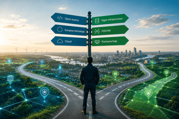
Digital sovereignty begins with the freedom to choose
Digital sovereignty is about the freedom to continue making your own choices regarding data, technology, and infrastructure. By identifying dependencies, diversifying risks, and having alternatives and an exit strategy in place, organizations maintain control. IMAGEM is happy to collaborate with organizations for which autonomy, data security, and continuity are essential.
Remote Sensing
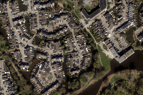
Remote sensing 5: From Data to Dashboard in Capelle aan den IJssel
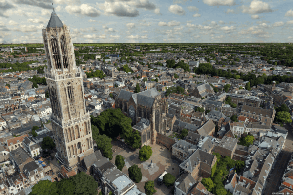
Before we can visualize anything in a digital twin, we first need to understand what we’re actually looking at. Without that foundation, visualizations are nothing more than pretty pictures. In part four of the series, Harald takes a step back to the beginning: observation itself. Not just via satellites or drones, but also with our own eyes. Remote sensing with observation—knowing who is looking, why, and with what instrument. Only then can you combine data into information that is accurate, meaningful, and usable.
Digital Twin
Remote Sensing
From drone data to actionable 3D insights
Fast and reliable information makes all the difference when it counts. Yet in practice, drone data often remains scattered across individual images, separate software steps, and fragmented workflows. IMAGEM and Skyline are changing that. Through an equal partnership, we combine data collection, 3D processing, centralized data management, and visualization into a single integrated workflow.