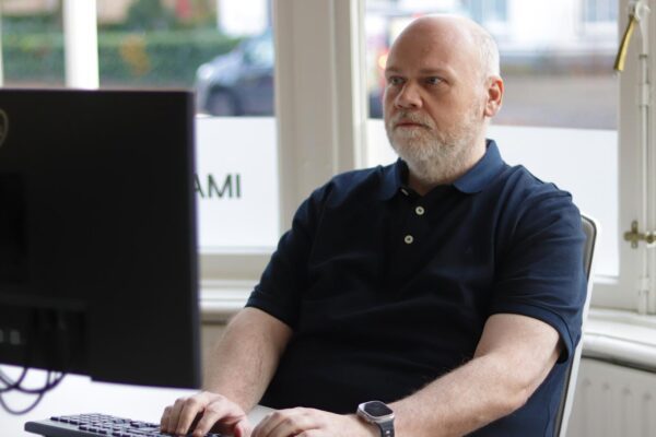
Meet our new CEO: An in-depth interview with Eric-Jan van Alten
Founder Wouter Brokx has handed IMAGEM the day-to-day management of IMAGEM to Eric-Jan van Alten. Eric-Jan has now taken on the role of CEO and has gained his first impressions. With over fifteen years of experience in scaling organizations and products, he brings new energy and a fresh perspective. But who is he, really? What drives him? And how does he view the future of IMAGEM?