Would you like to hear our take on current topics, learn about interesting ideas, and more?
Then follow our updates by subscribing to our newsletter.
Articles and updates
Filter options
Use the buttons to filter the list of results. The list is updated automatically.
Select a filter to narrow down the results. The page will refresh automatically.

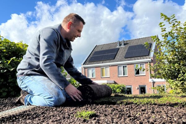
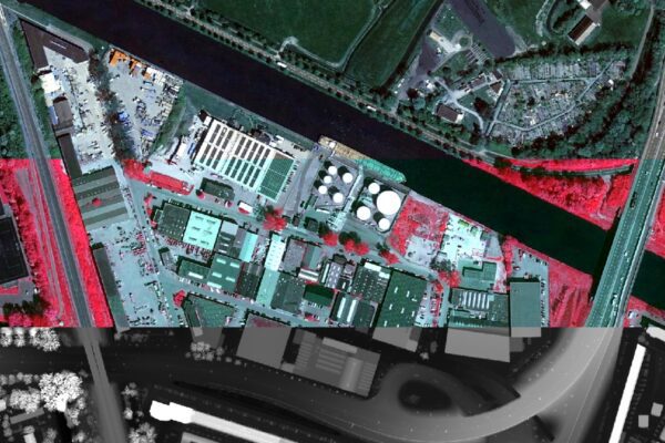
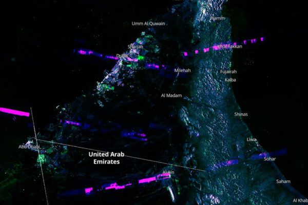
Remote Sensing
Remote Sensing 2: Green Roofs in Ezinge
Flooding can have significant consequences for both urban and rural areas. Using remote sensing and data science, we can accurately determine where flooding is likely to occur. An elevation map, such as a Digital Elevation Model (DEM), provides valuable insights into water flows and potential risk zones.

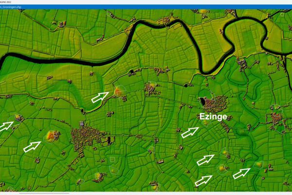
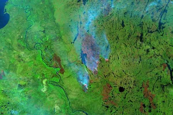
Remote Sensing
Remote Sensing 1: Flooding in Ezinge
Using Remote Sensing geographic data, we can not only look back at the past but also map current issues such as flooding and heat stress. By combining historical and current data, we can even make targeted predictions and work toward sustainable solutions for the future.
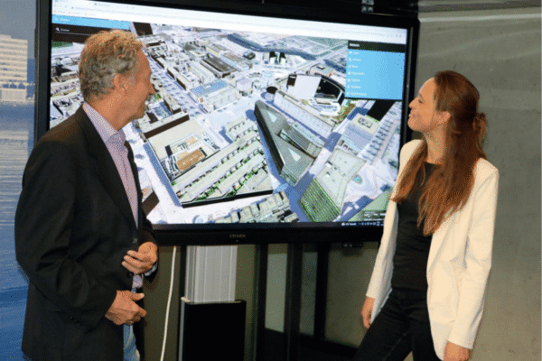
Digital Twin
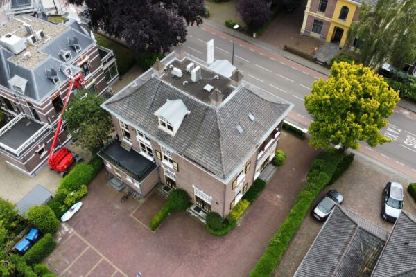
Converting Drone Photography to 3D in Planspace Simulator: A Step-by-Step Guide
Our latest tool, Planspace Simulator, lets you convert drone imagery into an impressive 3D mesh in just 15 minutes and digital twin it in your digital twin . Here are five simple steps to try it out for yourself.

Tjip van Dale has been working at IMAGEM for 10 years
In this interview, Tjip van Dale looks back on 10 years at IMAGEM. He shares how the field has changed, which developments have left the biggest impression on him, and what motivates him in his work. He also offers a glimpse into IMAGEM culture IMAGEM the impact of the projects he works on.
Digital Twin
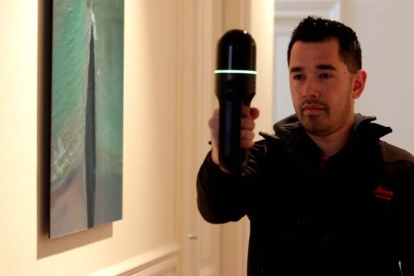
Digital Twin BLK2Go Handheld Scanner
IMAGEM , in collaboration with Leica Geosystems, IMAGEM a solution that uses the BLK2GO handheld scanner to integrate true-to-life and accurate images into a digital twin. The scanner can capture the entire interior and exterior of a building, for example, in just a few minutes. We demonstrate this in the video below...
Remote Sensing
WDODelta publishes the water authority's first algorithm
The WDODelta Water Authority is taking an important step by publishing its first algorithm. In this blog, you’ll learn how transparency, data, and technology come together to help stakeholders make more informed decisions and build trust.