Articles and updates

Would you like to hear our take on current topics, learn about interesting ideas, and more?
Then follow our updates by subscribing to our newsletter.

Filter options

Use the buttons to filter the list of results. The list is updated automatically.

Filter by solution
Filter by theme
Select a filter to narrow down the results. The page will refresh automatically.
Remote Sensing

WDODelta publishes the water authority's first algorithm

The WDODelta Water Authority is taking an important step by publishing its first algorithm. In this blog, you’ll learn how transparency, data, and technology come together to help stakeholders make more informed decisions and build trust.

Remote Sensing

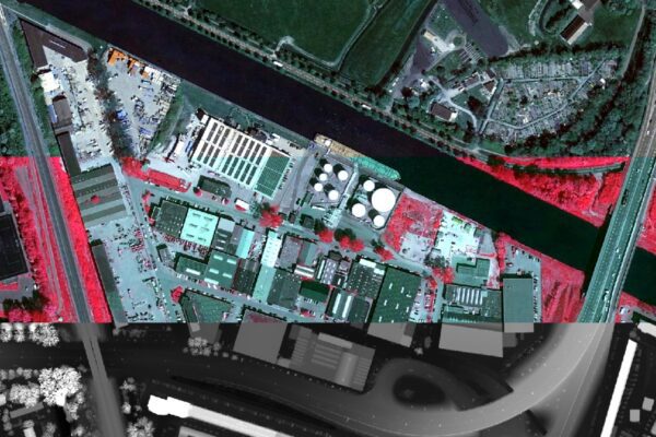
There has to be a difference!

This blog explains why identifying differences is essential in analysis and monitoring. remote sensing it easier to detect and compare changes and to better understand what is happening in the environment.

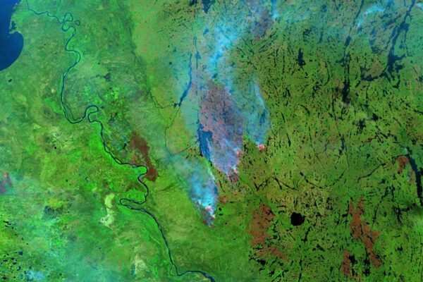
Forest fires in Canada.
Remote Sensing

Forest fire! Climate action? 20 years!

What impact will wildfires and climate measures have in 20 years? remote sensing Earth observation) makes changes visible and measurable, giving you a better understanding of what works and what doesn’t.

Policy-aware digital twin

Planspace help municipalities speed up decision-making

Want to make faster and better decisions on complex issues? Planspace municipalities clarify scenarios, support their choices, and speed up the decision-making process.

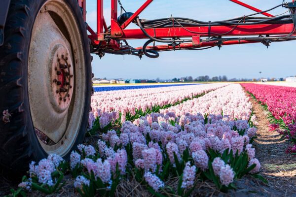
Fylo - Truck drives through a field of flowers.
Policy-aware digital twin

Faster collaboration and development with the Fylo collaboration platform

Want to collaborate and build projects faster? With the Fylo collaboration platform, you can work together more efficiently, share information easily, and keep everyone up to date at all times.

Digital Twin

Hexagon the most notable developments at Hexagon

What innovations stand out at our partner Hexagon? An overview of the most notable developments that show where technology and data are headed.

Remote Sensing

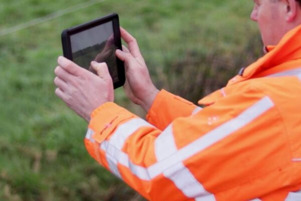
The Nijmegen Four Days Marches and the visual inspection of flood defenses

What’s the connection between flood barrier inspections and the Four Days Marches? It’s the number of kilometers that need to be walked. Flood barrier inspections are usually conducted on foot. The Netherlands has 17,691 km of primary and secondary flood barriers. And they all need to be inspected. Better put on your walking shoes!

Remote Sensing

Geo Tindering

Want to find the best location quickly? With Check Mapp, you can compare areas based on data and gain clarity on your options, allowing you to make faster and more informed decisions.

Digital Twin

Let data work for you, not the other way around

Need to efficiently handle large amounts of raster data? With ECW, you can compress and make your data accessible in a flash, allowing you to work smoothly without compromising on quality.

IMAGEM obtained ISO 27001 certification for information security

Can you demonstrate your commitment to information security? With ISO 27001 certification, IMAGEM that its processes, data, and systems are managed in accordance with the highest standards.

Remote Sensing

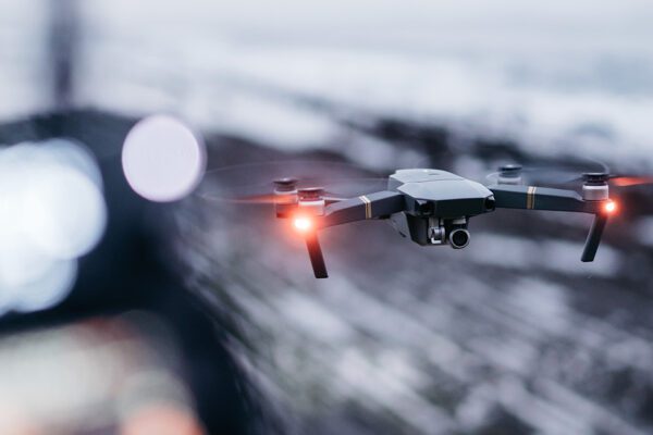
Counter-UAS: A 5D Drone Management Challenge

Want to get a handle on drones in your airspace? With Counter-UAS and 5D drone management, you can track flight movements and enhance control and safety.

Digital Twin

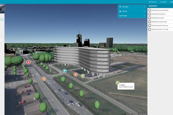
Data: Limburg's New Gold

How can you make data truly useful for regional development? Using 3D visualizations, the Limburg Data Hub demonstrates how data strengthens collaboration and enables better decision-making.