Would you like to hear our take on current topics, learn about interesting ideas, and more?
Then follow our updates by subscribing to our newsletter.
Articles and updates
Filter options
Use the buttons to filter the list of results. The list is updated automatically.
Select a filter to narrow down the results. The page will refresh automatically.
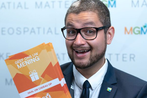
Bryan Veldkamp has been working at IMAGEM for 5 years
Our creative talent, Bryan Veldkamp, has been with us for five years. Have you ever held one of our flyers, magazines, or brochures in your hands? Or attended one of our events and seen the presentations, videos, or banners? If so, you’ve seen one of his designs. He holds the position of Marketing Design Specialist. And that’s exactly what he does...
Remote Sensing
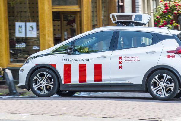
You can also automate enforcement
You sometimes see them driving around town. Those cars with a menacing array of cameras on the roof. Like hungry wolves, they cruise efficiently through the city, searching for license plates that aren’t currently registered—or are no longer registered—in the parking meters. The chances of getting caught these days are much...

Remote Sensing
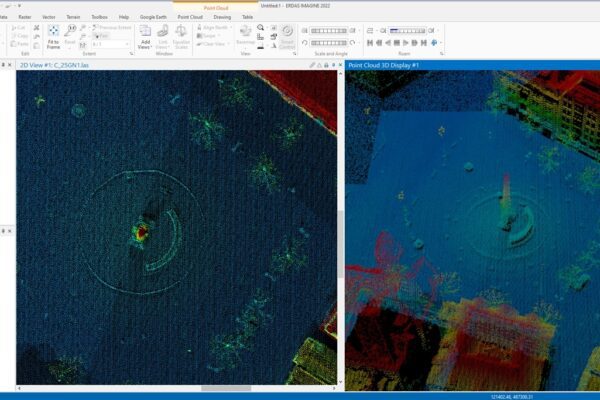
The magic of a cloud of dots
Magical? Absolutely! With a point cloud, we can help you experience the past. We can accurately map the present. They even let you glimpse into the future. In this blog, I’ll take you on a journey into the magical world of point clouds captured using LiDAR. Just a quick technical note...
Remote Sensing
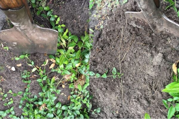
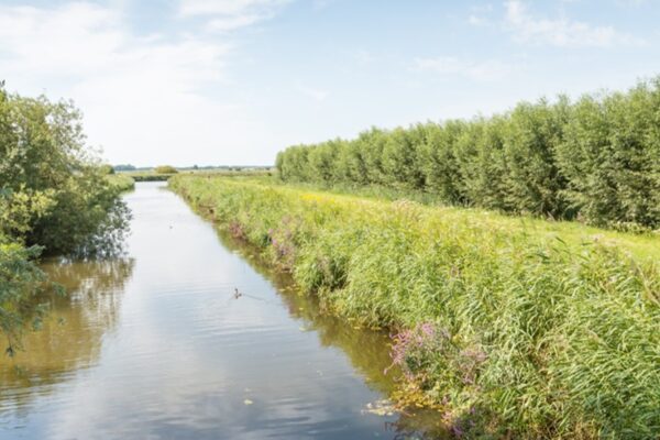
Chimney sweeping in the 21st century
The updated inspection process begins with a digital or satellite inspection. Satellite images of the water board’s area are analyzed using artificial intelligence. A smart algorithm is then used to assess whether the ditches that play a role in drainage have been “properly” or “improperly” cleaned.
Remote Sensing
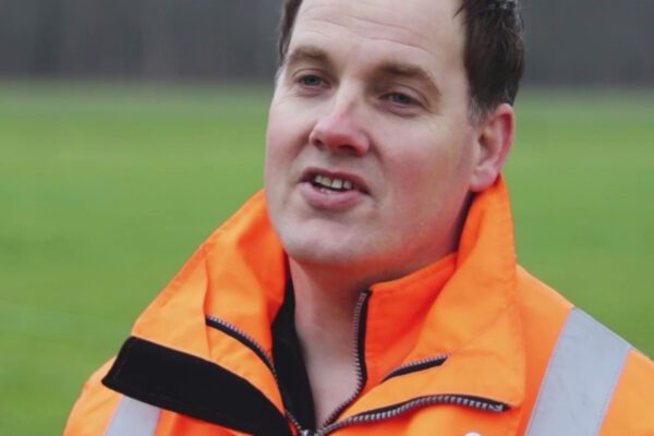
Harald is a Business Consultant at IMAGEM: “Here, you can showcase your knowledge and expertise”
Working remotely requires connection. Not just in terms of technology, but also between people. In fact, it requires a connection between both technology and people. Our goal is to make that connection as strong as possible, and our business consultants are fully committed to this—including our colleague Harald Görtz, who shares his story with us. “Within...
Remote Sensing
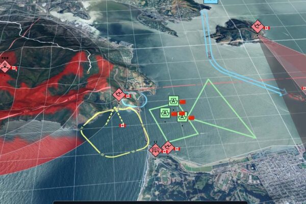
IMAGEM the Department of Defense Extend and Intensify Their Collaboration
Apeldoorn, January 7, 2022 – IMAGEM the Ministry of Defense have extended their partnership by three years. IMAGEM one of the Dutch Defense Organization’s key suppliers of geospatial technology for many years and will continue to serve in this capacity in the coming years. The current partnership is not only being extended but also significantly expanded. This confirms...
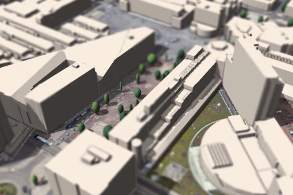
Policy-aware digital twin
Tom Buers is a senior developer at IMAGEM: “Every day, I feel like a kid who gets to go back to the playground”
With his knowledge and experience, Tom Buers is a seasoned developer. But even a seasoned developer can sometimes be surprised by the capabilities of the technology they work with. This is especially true in the geospatial field, as Tom discovered after working at IMAGEM for over a year. “I was looking for something on a smaller scale,...