News
Filter options
Use the buttons to filter the list of results. The list is updated automatically.
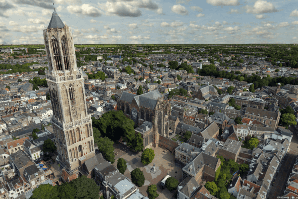
From drone data to actionable 3D insights
Fast and reliable information makes all the difference when it counts. Yet in practice, drone data often remains scattered across individual images, separate software steps, and fragmented workflows. IMAGEM and Skyline are changing that. Through an equal partnership, we combine data collection, 3D processing, centralized data management, and visualization into a single integrated workflow.
A digital twin for all
Policy-making is a complex process due to fragmented data and time-consuming procedures. Digital twins a solution, but require specialized knowledge and technical expertise. IMAGEM technology, expertise, and a practical approach, making digital twins accessible and immediately usable for municipalities.
From Games to the Globe: How 3D Engines Are Conquering the World
3D technology is now being used for real-world applications: from smart cities to air traffic control. But how can an engine that was once designed to bring virtual worlds to life suddenly become crucial for large-scale geospatial projects? In this article, we explore the striking differences between geo-engines and game engines. Because when it comes to accuracy, scale, and reliability, a geo-engine like Luciad turns out to operate Luciad a completely different league.

Remote sensing 4: First Observe, Then Visualize in Ezinge
Before we can visualize anything in a digital twin, we first need to understand what we’re actually looking at. Without that foundation, visualizations are nothing more than pretty pictures. In part four of the series, Harald takes a step back to the beginning: observation itself. Not just via satellites or drones, but also with our own eyes. Remote sensing with observation—knowing who is looking, why, and with what instrument. Only then can you combine data into information that is accurate, meaningful, and usable.
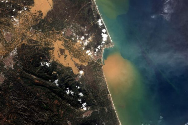
Mapping mudflows using a single satellite image
Severe mudslides struck the Valencia region. But how do you analyze a disaster area like this if you don’t have pre-flood imagery? Read how we developed a smart and fast analysis method using satellite data, the Flood Mud Index (FMI), and advanced image processing in ERDAS .

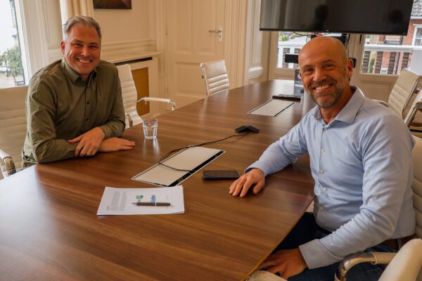
Meet our new CEO: An in-depth interview with Eric-Jan van Alten
Founder Wouter Brokx has handed IMAGEM the day-to-day management of IMAGEM to Eric-Jan van Alten. Eric-Jan has now taken on the role of CEO and has gained his first impressions. With over fifteen years of experience in scaling organizations and products, he brings new energy and a fresh perspective. But who is he, really? What drives him? And how does he view the future of IMAGEM?
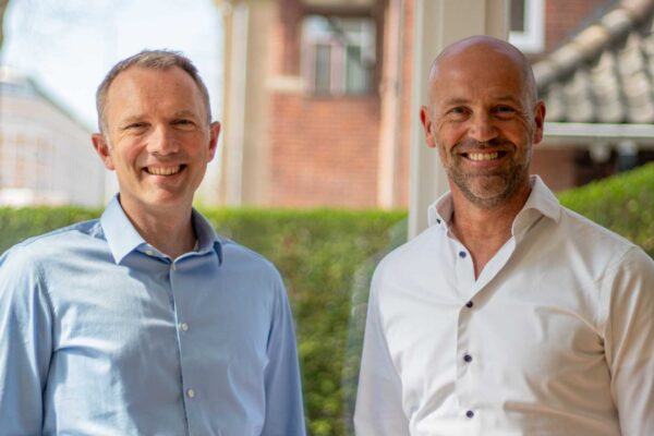
Change in leadership at IMAGEM
After more than twenty years at the helm of IMAGEM, founder Wouter Brokx is handing over day-to-day management to Eric-Jan van Alten. Wouter will remain actively involved and will focus entirely on innovation, strategy, and product development. This transition aligns with the phase the company is currently in: mature, growing, and full of ambition to tackle societal challenges with in-depth domain expertise, powerful technology, and a proven approach.
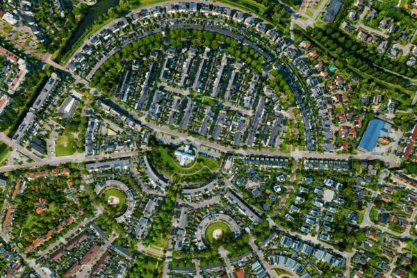
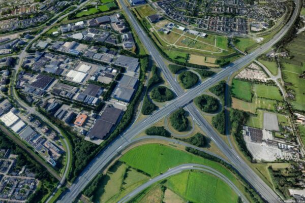
2D or 3D? The right choice for your municipality
2D maps provide an overview, but lack context. How tall is a building? Does a transformer station obstruct traffic or the view? How does water flow through the city? What does the world ‘really’ look like? 3D and digital twins that missing dimension and dynamic interaction. This gives you better insight, allows you to simulate effects, and helps you make smarter choices. But 2D remains valuable, of course. The power lies in the combination. Read how you can use these technologies together to create a more efficient and future-proof municipality.
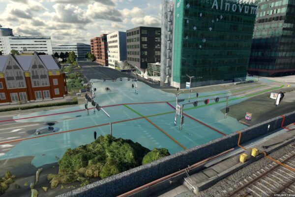
IMAGEM Dutch Metropolitan Innovations (DMI)
IMAGEM is proud IMAGEM Dutch Metropolitan Innovations (DMI), the partnership of government agencies, businesses, and research institutions dedicated to creating sustainable, livable cities. With our Planspace and digital twin, we connect fragmented data, simulate scenarios, and accelerate decision-making. We bring this expertise to the DMI ecosystem to help municipalities make faster and better-informed choices for the cities of tomorrow.
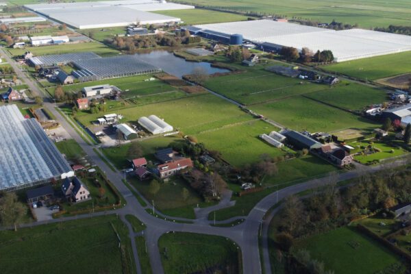
From drone photo to digital twin
Whereas in the past, methods for creating 3D models were slow, expensive, and complex, it is now possible to generate realistic and detailed 3D models—meshes or shape models—in just a few minutes. The use of drones and smart software, in particular, makes all the difference. All this for a fraction of the time, cost, and effort.
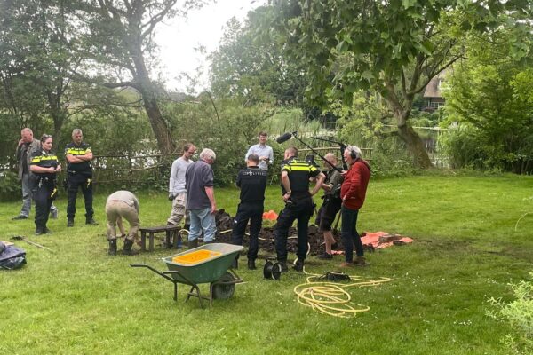
Geodata reveals forgotten history: the mystery of the old ditch
The CABR opened on January 2, 2025. NOS reporter Lex Runderkamp is investigating this wartime history; with the help of our geodata specialist Harald Gortz, among others, aerial photographs and modern data were used in the investigation to reveal historical sites.