News

Filter options

Use the buttons to filter the list of results. The list is updated automatically.

Filter by solution
Filter by theme
Select a filter to narrow down the results. The page will refresh automatically.
Remote Sensing

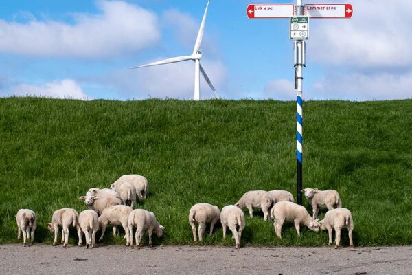
The Nijmegen Four Days Marches and the visual inspection of flood defenses

What’s the connection between flood barrier inspections and the Four Days Marches? It’s the number of kilometers that need to be walked. Flood barrier inspections are usually conducted on foot. The Netherlands has 17,691 km of primary and secondary flood barriers. And they all need to be inspected. Better put on your walking shoes!

Remote Sensing

Geo Tindering

Want to find the best location quickly? With Check Mapp, you can compare areas based on data and gain clarity on your options, allowing you to make faster and more informed decisions.

Digital Twin

Let data work for you, not the other way around

Need to efficiently handle large amounts of raster data? With ECW, you can compress and make your data accessible in a flash, allowing you to work smoothly without compromising on quality.

IMAGEM obtained ISO 27001 certification for information security

Can you demonstrate your commitment to information security? With ISO 27001 certification, IMAGEM that its processes, data, and systems are managed in accordance with the highest standards.

Remote Sensing

Counter-UAS: A 5D Drone Management Challenge

Want to get a handle on drones in your airspace? With Counter-UAS and 5D drone management, you can track flight movements and enhance control and safety.

Digital Twin

Data: Limburg's New Gold

How can you make data truly useful for regional development? Using 3D visualizations, the Limburg Data Hub demonstrates how data strengthens collaboration and enables better decision-making.

Digital Twin

The City of Helmond is tackling fireworks-related disturbances with the help of residents

New Year’s Eve is a time for celebration: a bottle of champagne, a plate of oliebollen, family and friends visiting, and, of course, fireworks. Unfortunately, however, fireworks often cause disturbances. These disturbances affect not only residents but also pets and other animals. And that’s not even mentioning the risk of property damage, fire, and injury...

Policy-aware digital twin

How do we go from 17 million perspectives to a single picture?

All transformations are difficult. They often hurt a little at first, before things get better. The digital transformation brought about by the Environment Act for municipalities is no different. The shift toward a customer-focused organization with fewer rules goes directly against what we’ve always done. But there is another way. We live and...

Remote Sensing

Data from 150 million kilometers away

By using remote sensing applying this data in smart ways (and no, doing smart things isn’t hard), we can work together to turn challenges like drought, urban heat, and flooding into opportunities!

Remote Sensing

You can also automate enforcement

You sometimes see them driving around town. Those cars with a menacing array of cameras on the roof. Like hungry wolves, they cruise efficiently through the city, searching for license plates that aren’t currently registered—or are no longer registered—in the parking meters. The chances of getting caught these days are much...

Digital Twin

The City of Almere makes urban development projects easier to understand with digital twin

The City of Almere and IMAGEM on a project to create a 3D collaborative environment where users can visualize information.

Remote Sensing

Shall we call a moped?

Even if you collect or receive a large amount of data, it’s important to make it easily accessible online with minimal effort. After all, someone looking for data wants to know quickly what’s available and often can’t wait weeks for it.